Manukau Harbour and its Catchment
-
![]()
Geography and Scale
The Manukau Harbour, Te Mānukanuka o Hoturoa, holds deep environmental, cultural, and historical significance. It is the second-largest natural harbour in Aotearoa and spans an extensive 3,400 km² catchment area, draining large portions of the Auckland region, including the Waitākere Ranges, the Manukau Lowlands, and the upper Waikato. The harbour itself covers approximately 394 km² at high tide, with over 500 km of intricate and diverse coastline.
-
![]()
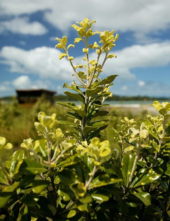
Ecological and Cultural Significance
Te Mānukanuka o Hoturoa has long been a place of immense importance to mana whenua, serving as a vital source of kai moana and a key waterway for trade and travel. The harbour is home to a rich array of taonga species, including shellfish, shorebirds, and native fish species such as kahawai and flounder. Its expansive tidal flats and estuarine wetlands provide critical habitats for migratory birds, including kuaka (godwits) and tōrea (oystercatchers), making it one of New Zealand’s most significant shorebird roosting and feeding areas.
-
![]()
Challenges and Restoration Efforts
Despite its ecological and cultural importance, the Manukau Harbour has suffered from extensive environmental degradation due to urban development, sedimentation, wastewater discharges, and habitat loss. Efforts to restore the harbour are ongoing, with iwi, community groups, and local authorities working together to improve water quality, restore ecological functions, and protect its biodiversity. The harbour continues to support major economic and recreational activities, including commercial fishing, aquaculture, and waka ama, while also playing a central role in the identity and well-being of surrounding communities.